


FRANCIS ROCARD & ALFRED S. MCEWEN - MARS, A PHOTOGRAPHIC EXPLORATION
Pickup currently unavailable at 1 rue des Minimes
– Default Title
-
1 rue des Minimes
09709759181 Rue des Minimes
75003 Paris
France
FRANCIS ROCARD & ALFRED S. MCEWEN
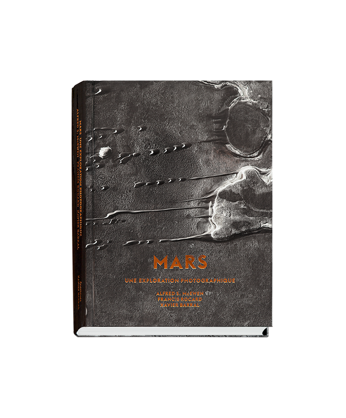
MARS, A PHOTOGRAPHIC EXPLORATION
Published by EXB, 2017
Canvas hardcover book with screen-printed jacket
Book size 17.5 x 23.5 cm
Pages 296
150 B&W photographs
Texts (in French): Francis Rocard, Alfred S. McEwen, Xavier Barral
In partnership with NASA, Jet Propulsion Laboratory and the University of Arizona
ISBN: 978-2-36511-123-2
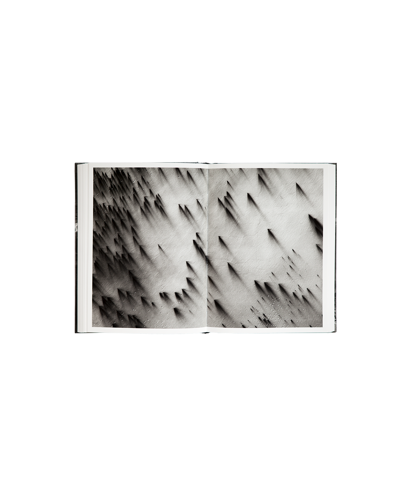
Valles Marineris, Arcadia Planitia, Elysium Mons, Planum Boreum, Icaria Fossae, this publication invites us to discover these astonishing Martian regions shaped by the wind for over three billion years. Among the tens of thousands of shots made by NASA's observation probe, MRO, with a resolution of unprecedented quality, Xavier Barral has extracted a series of 150 photographs for this book. These stunning images, evoking sometimes both abstract paintings, will appeal to art and science lovers.
Conceived like a visual atlas, this book brings us into a fantastic journey along familiar geological forms: craters, lava plains, sand dunes, canyons and polar regions. But these landscapes disrupt our
usual points of reference: the dunes are made of black sand, the volcanoes sometimes reach an altitude of 22,000 meters, the canyons are 10,000 meters deep and the ice is sublimated. In order to best capture the geological and mineralogical contours of this mythical planet, the editorial choice was to maintain a consistent point of view, with each photograph covering a 6-km wide strip.
To help guide us on this photographic exploration sketched out by Xavier Barral and Sébastien Girard, texts by astrophysicist Francis Rocard, professor of planetary science and the director of HiRISE, Alfred McEwen, detailed captions by planetologist and geophysician Nicolas Mangold, as well as a planisphere of Mars all provide keys for interpretation and place these enigmatic images back in their context.
----
Valles Marineris, Arcadia Planitia, Elysium Mons, Planum Boreum, Icaria Fossae, this book invites us to discover unsuspected Martian landscapes sculpted by the wind for more than three billion years. Among the tens of thousands of photos taken by NASA's MRO observation probe, Xavier Barral has chosen a series of 150 images collected in the book and accompanied by texts allowing us to decipher them. Of great beauty, sometimes evoking abstract painting, these photographs will seduce art lovers and science enthusiasts alike.
Designed as a visual atlas, this book takes us on a fantastic journey to discover familiar geological forms: craters, lava plains, sand dunes, canyons and polar ice caps. But these landscapes disrupt our bearings: the dunes are made of black sand, the volcanoes can reach 22,000 meters in altitude, the canyons are 10,000 meters deep and the ice sublimates. In order to better grasp the geological and mineralogical contours of this mythical planet, the editorial choice was to keep a constant point of view: each photograph covers 6 km wide.
To continue this photographic exploration, designed by Xavier Barral and Sébastien Girard, texts by astrophysicist Francis Rocard and professor of planetary science, head of HiRISE, Alfred McEwen, detailed captions by planetologist and geophysicist Nicolas Mangold as well as a planisphere of Mars offer us keys to interpretation and place these enigmatic images in their context.